Results

View the latest information and data on river condition measurements, ecological restoration efforts, and community-led outcomes across our three Program Target Areas

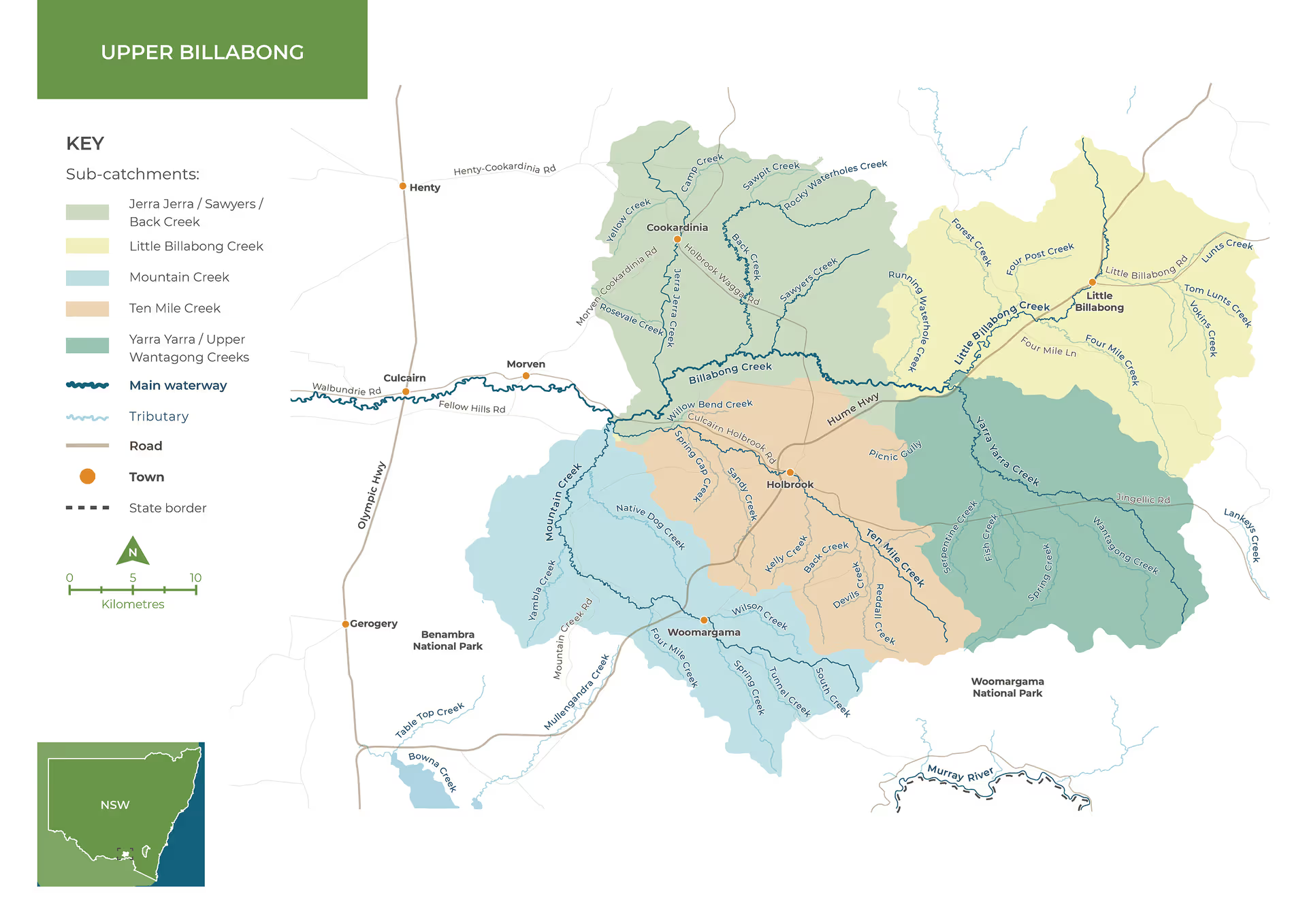
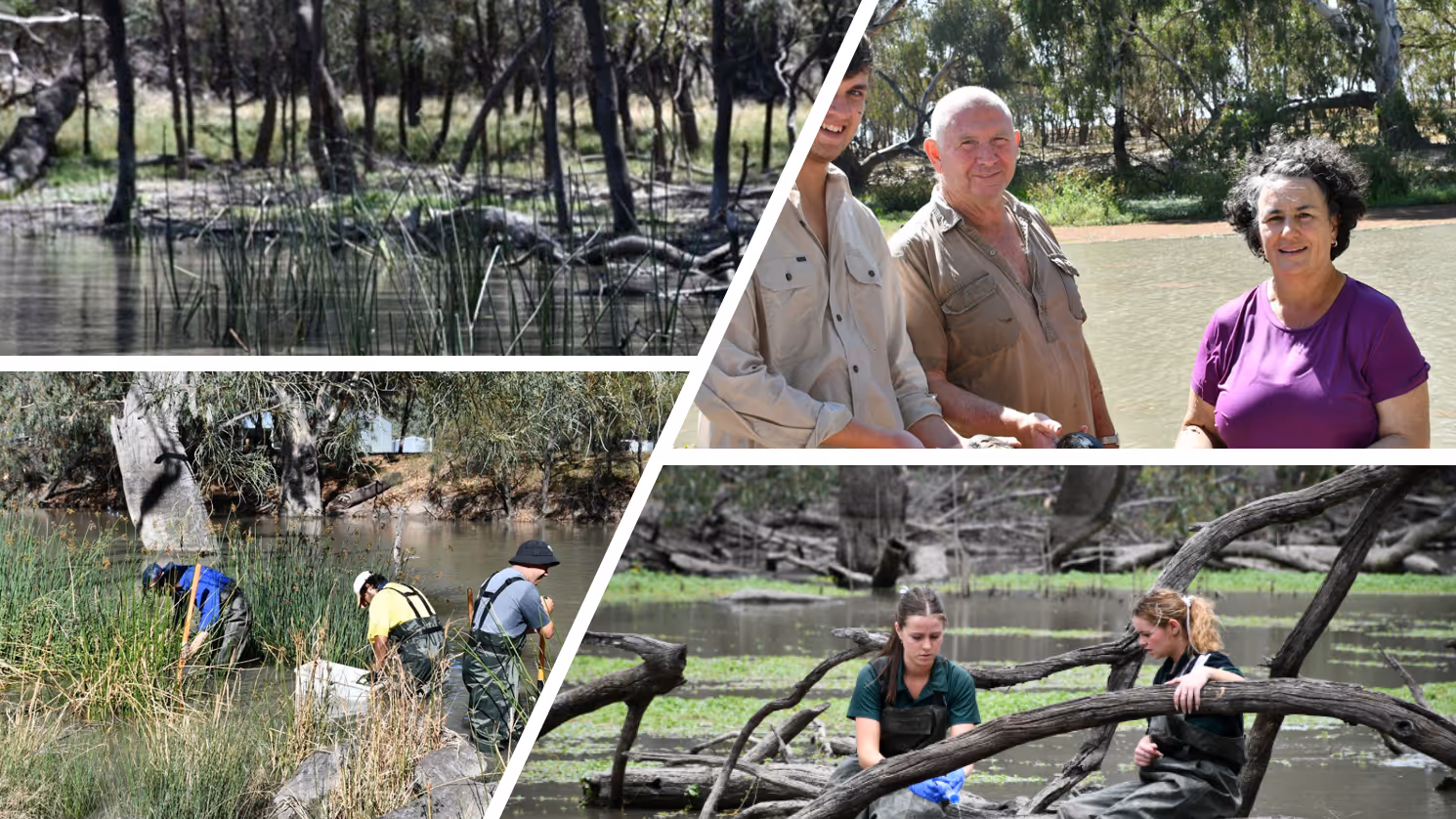
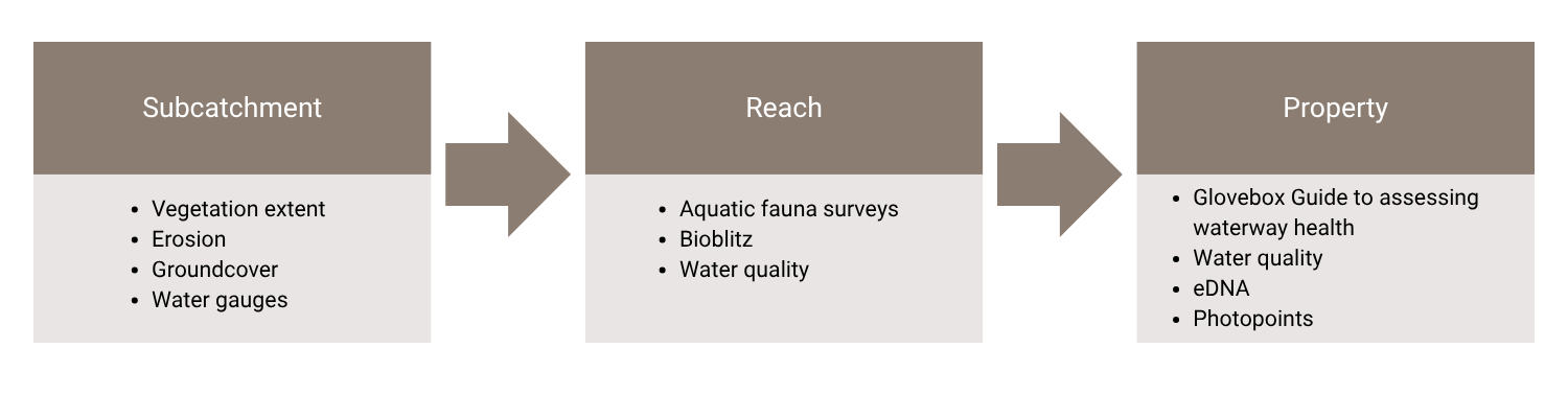
Refreshing Rivers Program is in Year 5 of the 10-year program to improve waterway health across three Target Areas the Central Billabong, Upper Billabong and Riverina Highlands. The program is successfully converting awareness into on-ground change.

Targeted engagement and capacity-building are enabling landholders to adopt river-friendly practices, supported by practical tools such as the Low-Cost Solutions to Enhance Your Waterway guide. The Natural Capital Profiling service is a key driver—delivering tailored, farm-scale insights that connect environmental outcomes with emerging market opportunities.

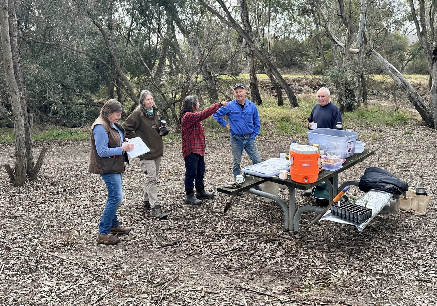
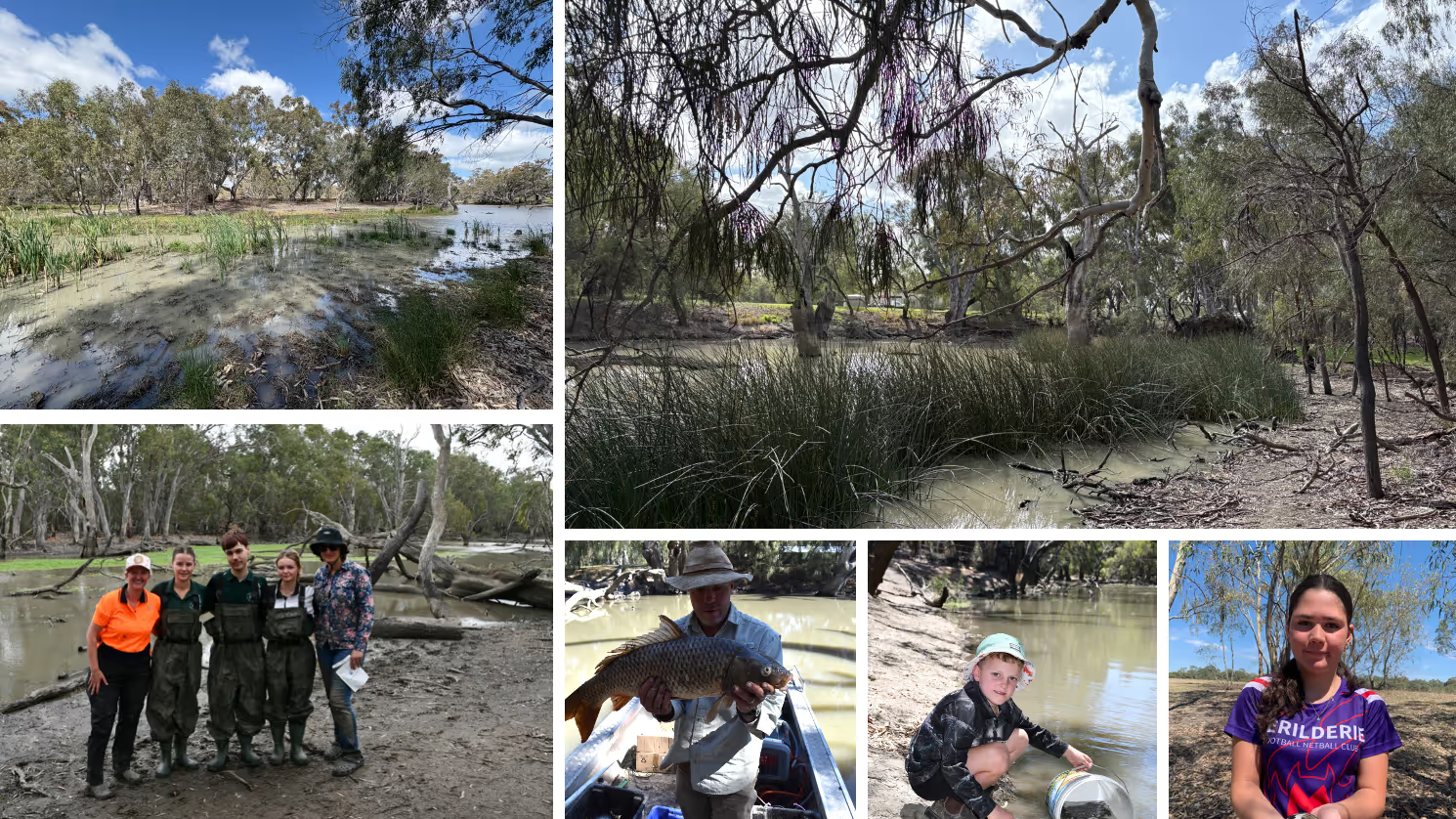
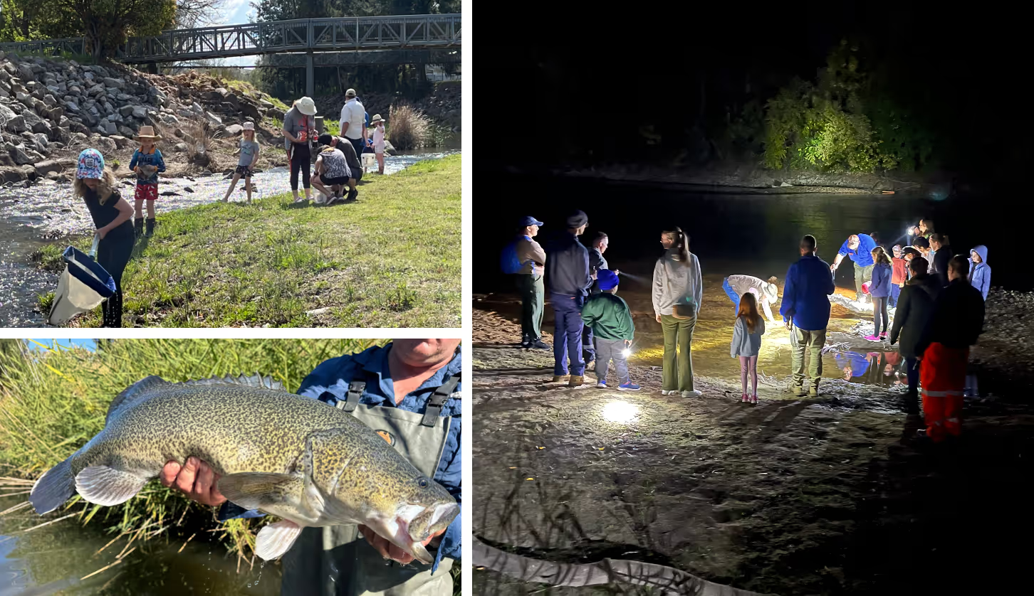
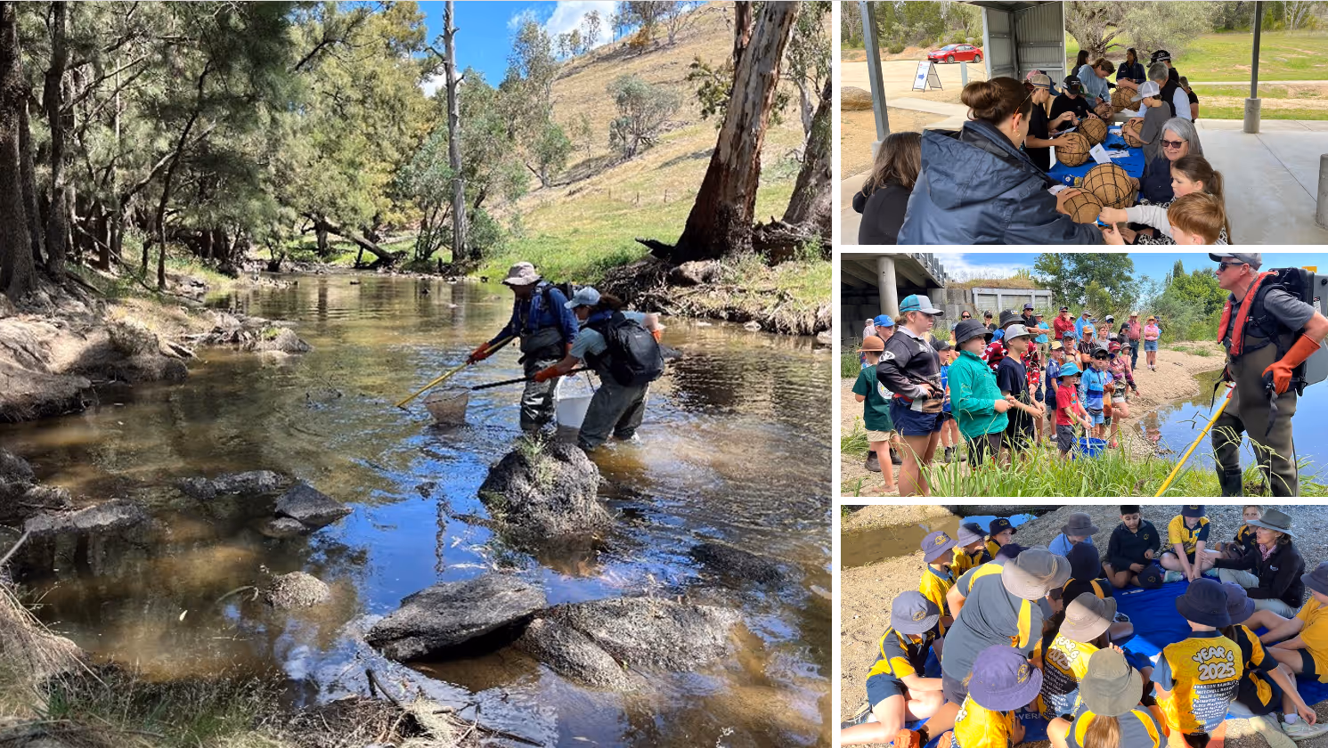
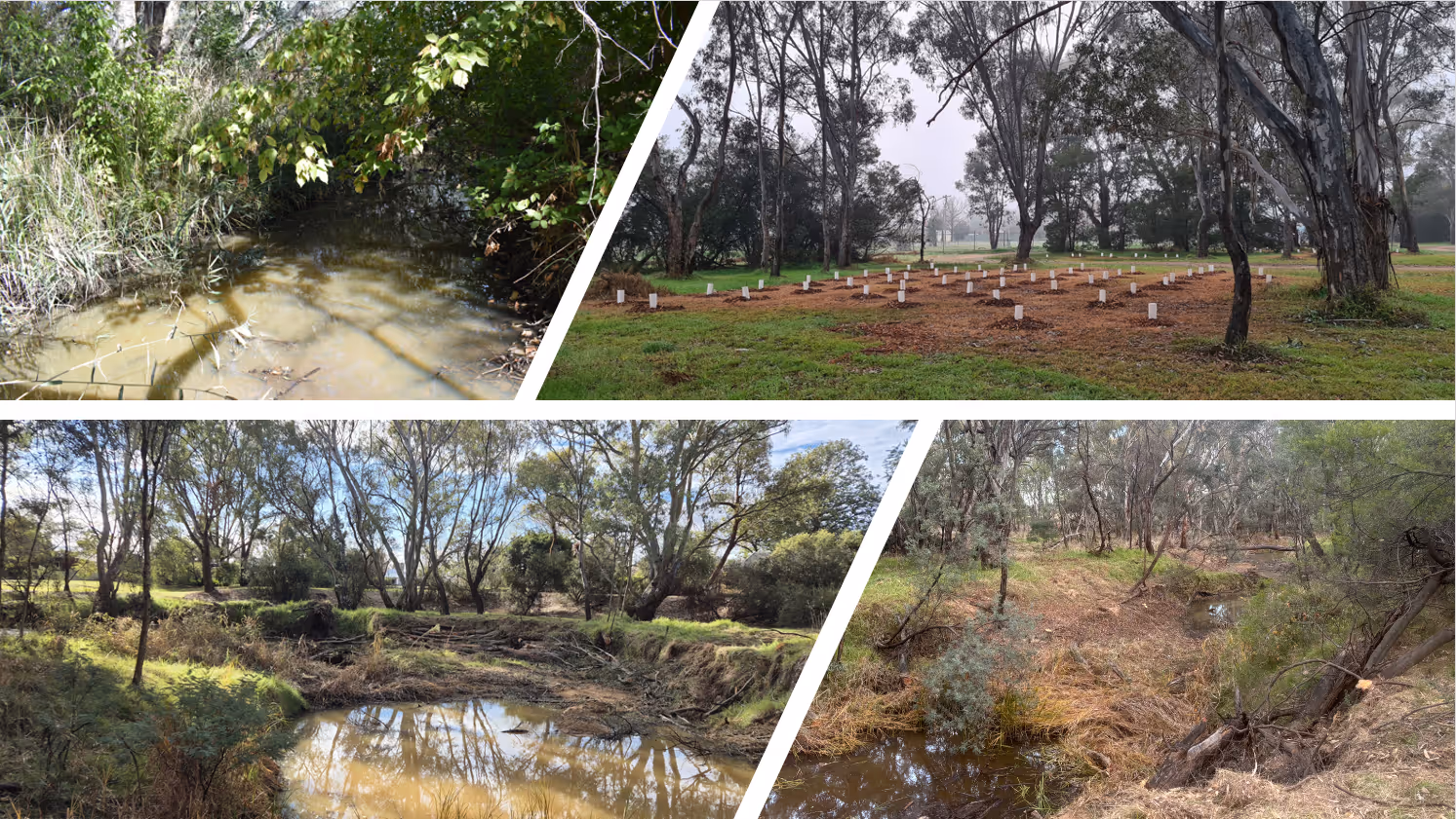
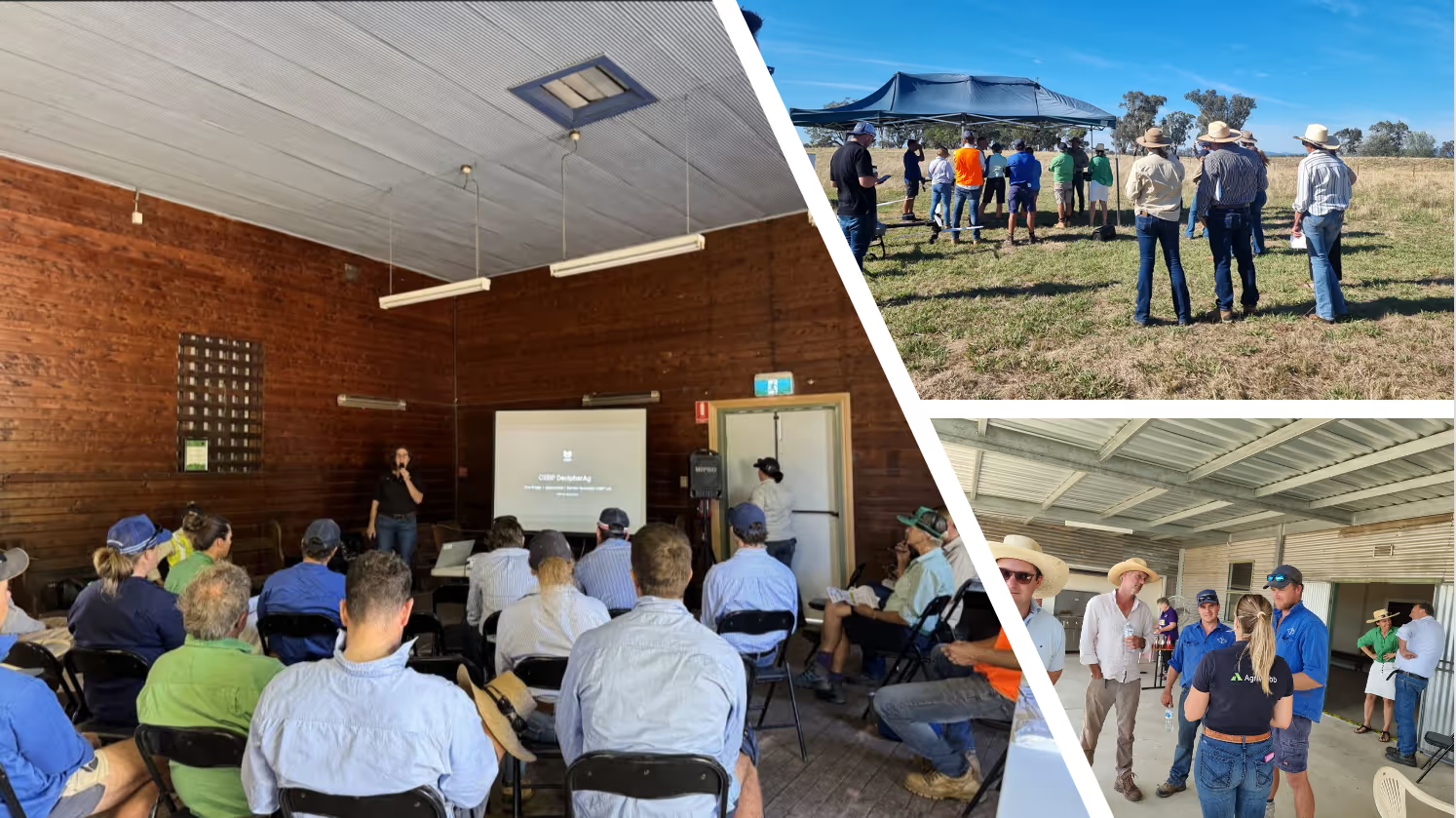
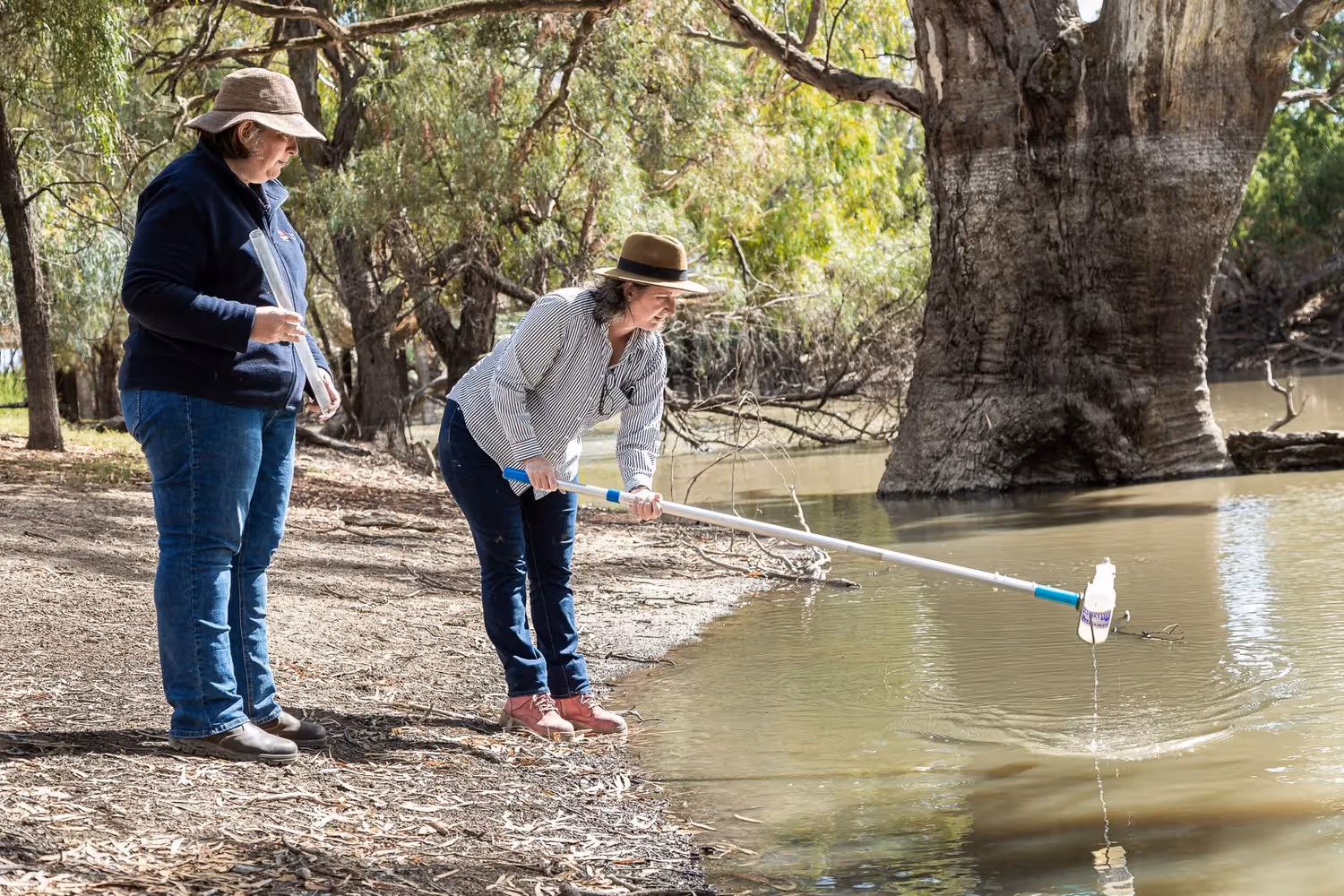
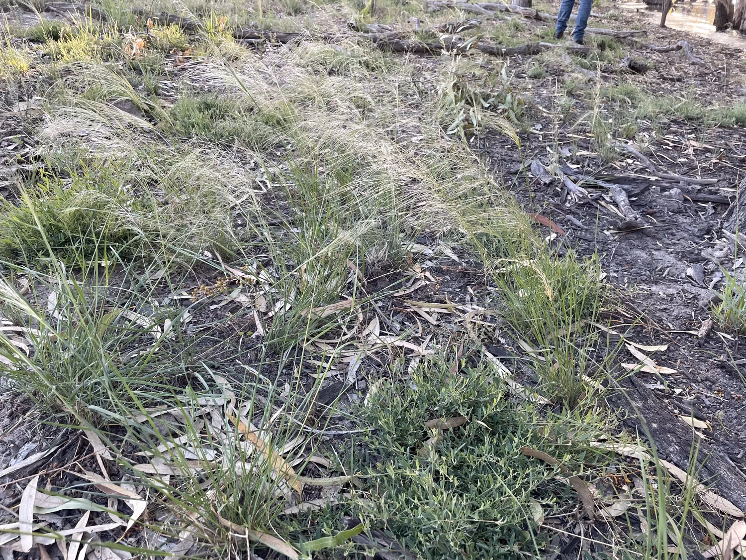
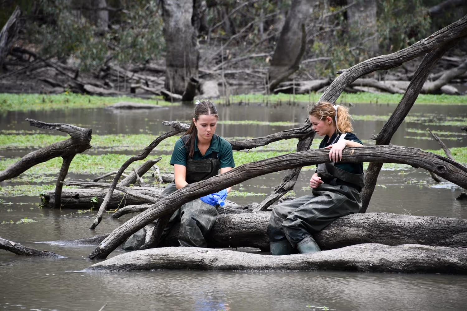
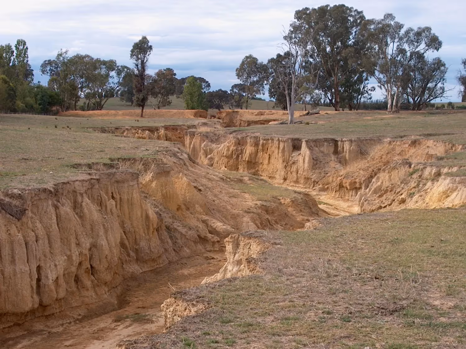
Hear from our landholders and see current program results below.

Hear from landholders

“The Natural Capital Profile for our properties has reassured us that we are on track to maintain a productive and sustainable grazing enterprise.  It also gave us confidence to enter an environmental market which will provide us with future carbon credits as well as improving our on-farm biodiversity.”
Samantha Pollack – Riverina Property Owner
“Removing the woody weeds has opened the view to the creek, and the Native tussock grasses (Poa sp.) we planted at the working bee last year are doing well. I’m looking forward to the creek looking more natural and healthier as an example of what can be achieved”
Kylie Durant – Friends of Ian Geddes Bush Reserve
Read Case study
“We are working on the reduction in carp as part of a multiple measures approach to give native fish populations and aquatic vegetation the best chance to increase. Community - government based restocking and revegetation efforts are an important part of this collaborative approach.”
Dr John Conallin - Charles Sturt University - ROAR Site Conargo
Read Case study
Our involvement in the Refreshing Rivers project has strengthened our connection to Country. It has created opportunities for us to build our knowledge and skills, provided meaningful employment, and supported the restoration of places that hold deep significance for our community.  Through this work, the river is being refreshed and so are we
Aunty Coral Bulger - CEO of Brungle/Tumut Local Aboriginal Land Council
Read Case study

What the Program has achieved across our Target Areas

Central Billabong Achievements

  • Mussel Muster event - ecological and cultural importance, priority site at The Cape, Jerilderie with Jeithi Jerilderie Aboriginal Corporation
  • Billabong Creek (ROAR Site - Conargo TSR)
  • ROAR Site Yarkuwa's Kolety-Werkul Rangers donned their waders and carried out instream plantings
  • Boys to the Bush hands-on citizen science event at the top of Yanco Creek, near Euroley
  • Coleambally Central School plant native wetland species at "Broome", on the Yanco Creek
  • 25,700 golden perch fingerlings into the Yanco creek System (DPI
Fisheries grants)
  • Over 1,000 eel-tailed catfish released at key locations including Conargo and Cape Jerilderie
  • Completion of first Natural Capital Profile in the area

Riverina Highlands Achievements

  • High volume of Natural Capital Profiles delivered 14), including refinement of process leading to implementation of a statewide program
  • Demonstration works funded by OzFish at Adjungbilly for Macquarie Perch and Tumut Wetlands
  • Aquatic species surveys completed for Adjungbilly Creek and Adelong Creek
  • Tumut Wetlands - Cultural burn, follow up weed control & fish habitat enhancement  
  • Morleys Creek-eDNA, community planting and indigenous ranger actions along 3km of wetland, planning with Council for potential future instream works
  • Micalong Swamp - Blackberry control, cultural engagement, monitoring and education (8HA) - in-kind
  • Well attended community events including Hollows as Homes, Waterway spotlights, school plantings, Adelong Fishcare event, riparian rare plant propogation
  • BTLALC partnership - weed control, establishment of Mt Naughton and Goobarragandra Tumut Greville sites - from seed collection, propagation to planting and management

Upper Billabong Achievements

  • lan Geddes Reserve, public demonstration site
  • Instream works and woody weed control, realignment of logs and removal of logs causing blockages
  • Important Southern Pygmy Perch Habitat
  • Reinstatement of bank stabilising fringing woodland vegetation, nest boxes for squirrel gliders
  • Co-operation with Council and Friends of group, Men's shed, schools, Soil Conservation Service, DPI Fisheries
  • Potential to develop partnership for Albury LALC for management including cultural burns at site  
  • Planning commenced for additional Southern Pygmy Perch Priority stream works
  • Ag Tech Field Day

Program-Level Achievements

  • Natural Capital Services initially created within Refreshing Rivers has assisted the design of a state based Natural Capital service -LLS state team supported by Natural Capital Advisors in each region.
  • Waterway Management Plans co-created with community for each of the Target Areas, and associated Waterway Monitoring Plans implemented.
  • Targeted engagement and capacity-building are enabling landholders to adopt river-friendly practices.
  • Industry PhD program - Enhancing Sustainable Land Management Practices through Natural Capital Profiles: Co-creating and Building a Change Program for Improved River Outcomes.
  • New Glovebox Waterway Health Assessment Guides are being designed to equip landholders with practical, locally relevant tools to assess and manage waterway health.
  • Funding of $760,000 secured for a landscape-scale carbon abatement project in the Upper Billabong.
  • A robust Monitoring, Evaluation, Reporting and Improvement (MERI) framework is now in place, giving the program a clear line of sight from investment to ecological outcomes.
Karen, Miriam, Helen, Trevor, Lili and Michael in front of a giant River Red Gum on Yanco Creek at Woodpark

Our Approach

The Refreshing Rivers Program (the Program) is not a traditionally funded incentive program but instead works with landholders to drive social change while facilitating access to environmental and carbon markets. Since these funding streams are not controlled by the program, capturing interventions will be challenging. Therefore, monitoring will need to be conducted at multiple levels to track changes over time effectively.

The Program will collect information at three spatial scales: sub catchment, reach, and property levels, aligning with community priorities taken from the Waterway Management Plan and long-term outcomes of the Refreshing Rivers Program.

River Condition Measures

We are assessing the overall health of the waterways across each of the Target Areas. To do this we are using a number of methods that assess the physical, chemical and biological condition of waterways, collectively called River Condition Measures (RCM).

These measures help us to understand how healthy our waterways are, indicate potential drivers relating to poor conditions, and show us how they are changing over time. Some measurements are highly variable and respond quickly to changes within a catchment area, such as water quality, while others take much longer timeframes to change, such as geomorphic condition and riparian vegetation.

The following information will be collected during our baseline, mid-point and end point sampling program, as well as ongoing and project-base monitoring.

Water quality

Water quality is vital to the overall health of the river, but there are many components that contribute to the quality of water. The Program will be monitoring and measuring seven key physical and chemical components: Temperature, pH, Turbidity, Dissolved Oxygen, Electrical Conductivity, Total Nitrogen, Total Phosphorus, and Dissolved Organic Carbon.

Why we are monitoring it?

Temperature: important to regulate the metabolism, mobility and reproduction of all plants and animals in the waterways

pH: Can indicate acid soils and can impact aquatic animals.

Turbidity: Measures the clarity of water, indicating sediment presence. Increases can lead to low light and prevent plant growth, smother habitats, transport nutrients and irritate fish gills.

Dissolved Oxygen (DO) – Essential for fish and aquatic organisms; low levels can indicate pollution.

Electrical Conductivity (EC) – High salinity can affect all plants and animals living in or near freshwater ecosystems and may indicate presence of pollutants.

Total Nitrogen (TN): Represents nutrient levels that influence aquatic plant growth and ecosystem health. High levels can lead to algal blooms and oxygen depletion.

Total Phosphorus (TP): Indicates nutrient availability and potential for eutrophication, affecting water quality and aquatic life.

Dissolved Organic Carbon (DOC): Reflects organic matter in the water, impacting microbial activity, carbon cycling, and water clarity.

How is it measured?

From the composite water samples and handheld multi-probe data, we will analyse water quality using the NSW Water Quality Index (WaQI), a tool used to measure the condition of water quality in rivers across New South Wales. It compares monthly water quality results against predetermined targets to calculate a score between 1 and 100. A score of 100 indicates pristine water quality, while a score of 1 signifies highly degraded water quality.

Additional information will be taken from WaterNSW gauges to understand the ‘water quality loads’, such as the flows and the amount of nutrients or sediments in the systems, which is important to know for prioritising management actions in specific areas.

Water quality will be measured at the property, reach and sub-catchment scales.

Riparian vegetation extent and condition

An evaluation of the condition and extent of riparian zones, which are broadly defined as the interface between terrestrial and aquatic ecosystems.

Why we are monitoring it?

Riparian zones contribute to numerous ecological functions and have direct and indirect effects on social and economic factors. Healthy riparian zones maintain bank stability and support critical ecological functions for both river and terrestrial ecosystems. Given the importance of such systems, riparian health is essential.

How is it measured?

At a property/reach level, the Refreshing Rivers 'Glovebox Guide assessments for waterway health' are currently being developed for each Target Area. Each guide will be calibrated to suit the local waterways and will be a tool used to assess geomorphic condition, riparian and instream habitat (complexities, condition and extent), as well as water quality and site-specific land use observations to inform river management practices. The guides will be based on existing methodologies and frameworks, such as River Condition Index (RCI) sub-indices and Rapid Assessment of Riparian Condition of recovering rivers (RACRrec), to ensure the guides are developed with a good level of scientific rigour.

On a larger sub-catchment scale, satellite imagery and remote sensing analyses have been completed for baseline measurements across the Target Areas. The baseline results will be compared against the data collected at the end of Program.

Groundcover

Groundcover assessments refer to the percentages of ground vegetation found beside waterways and surrounding land.

Why we are monitoring it?

Ground cover or vegetation cover reduces soil erosion, increases water infiltration, enables carbon sequestration and contributes to agricultural production of food and fibre. Areas which have low ground cover levels may be areas of concern for soil and nutrient loss to the stream and is therefore important to maintain, so that impacts on water quality are minimised.

How is it measured?

This will be measured using site-based assessments (Glovebox Guides, photopoint monitoring, Natural Capital Profiles) and various GIS spatial layers and analyses for each property, reach and sub catchment.

Biodiversity of aquatic dependent fauna

An investigation of the richness and abundance (where possible) of aquatic-dependant fauna, specifying both invasive species (e.g. Carp, Gambusia) which can negatively impact native biodiversity; and native species (e.g. Pygmy Perch, Cod, and Golden Perch) which can indicate good ecosystem health.

Why we are monitoring it?

Aquatic organisms are considered valuable indicators of aquatic ecosystem health, as they are generally sensitive to pollution and changes in water quality and habitat. Understanding the richness and abundance of these organisms, from macroinvertebrates to fish, can reflect changes in waterway condition within short- and long-term timeframes.

How is it measured?

Predominantly we are sampling using Environmental DNA (eDNA) metabarcoding analysis. In addition to this, specific projects throughout the program will measure species abundance and richness through techniques such as electro-fishing and trapping (fyke nets).

Geomorphic condition

Examines sediment erosion, deposition and transport processes in river channels and banks.

Why we are monitoring it?

Geomorphic condition describes the physical framework that shapes ecological habitat diversity for biota and maintains bank stability, which in turn regulates erosion processes. Human disturbances can disrupt the natural balance of sediment erosion and transport. For instance, clearing within the catchment or along riparian zones can increase erosion rates and the delivery of sediment to stream channels, where it is often stored and transported slowly during flood events. While retained within the channel, this sediment can adversely affect stream ecosystems by smothering habitat, releasing nutrients and contaminants into the streambed or water column, and physically damaging aquatic organisms.

How is it measured?

At a property/reach level, the Refreshing Rivers Glovebox Guides to assessing waterway health will help record the geomorphic condition metrics during the Programs routine vegetation survey events across the Target Areas and will focus on condition factors, such as: Bank Condition (undercutting, slumping, exposed tree roots, active erosion, active deposition), Management (tree clearing, fencing, livestock, riparian riverworks, instream riverworks, livestock, human access), Bed Condition (active erosion & deposition).

Additionally, sub catchment assessments will look at the entire stream network for each Target Area and will use the most recent River Styles GIS data layer as the baseline.

Check Target Area health

You can explore the health of all three Target Area via the interactive map below. Additionally, you can see project data which geographically demonstrate the ecological restoration efforts and community-led outcomes.

Case Studies?

A few of the ways in which community, landholders and project partners have come together to improve the waterways in the Murray-Riverina region.

Case Studies

Ian Geddes Bush Reserve

Ian Geddes Bush Reserve demonstration site gives the opportunity to educate the public on river friendly practices including maintaining large woody debris, controlling woody weeds and reestablishing fringing and instream vegetation.

view resource
Case Studies

Riverina Highlands Traditional Owner Led Actions

Refreshing Rivers has partnered with the Brungle Tumut Local Aboriginal Lands Council (BTLALC) to implement key actions of the Riverina Highlands Waterway Management Plan including selective weed control, plant propagation threatened species monitoring, cultural burning and tree planting.

view resource

More case studies can be viewed on our Resources page.

What is the natural capital of your property?

Recognising and valuing your farm’s natural assets is a great first step towards making informed farm management decisions that can improve your productivity and profitability while also promoting biodiversity and the health of waterways on your property.

Natural Capital Profiles is a free service provided by the Refreshing Rivers Program. Find out more and if you’re eligible to take action on your land today

Talk to one of our Project Officers

Our Project Officers are seeking eligible landholders within our three Target Areas who would like to have a Natural Capital Profile assessment of their farm.
If you are interested, please get in touch.

Central Billabong

Karen Luckel

0437 192 444

cb@refreshingrivers.org.au

Upper Billabong

Kylie Durant

0418 198 522

ub@refreshingrivers.org.au

Riverina Highlands

Cherie White

0427 407 126

rh@refreshingrivers.org.au

Stay up to date with the Refreshing Rivers Program by subscribing to our newsletter.

Thanks for subscribing to Refreshing Rivers!
Oops! Something went wrong while submitting the form.

The Refreshing Rivers Program is a collaboration between government, industry, research, and community organisations, led by Local Land Services. This Program has been assisted by the New South Wales Government through its Environmental Trust.

The Refreshing Rivers Program works on Country that always was and always will be Aboriginal land. We acknowledge the Traditional Custodians of the land and waters, and we pay respect to Elders past, present and emerging.

Website developed by the Australian River Restoration Centre